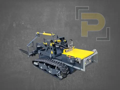
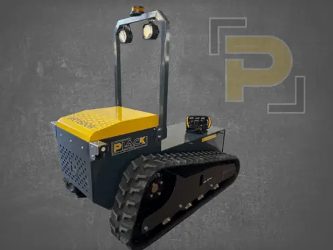
Autonomous system
Autonomous, precise and efficient
Autonomous system
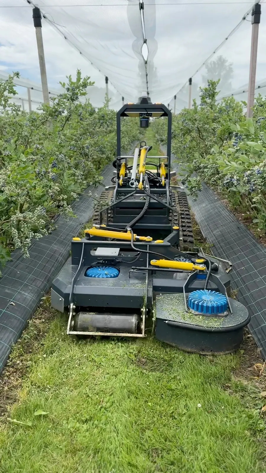
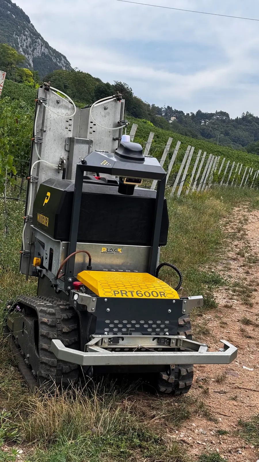
With Evopilot, the PRT works on its own, row after row – and setup is remarkably simple: one lap around the field creates the geofence and already marks the row starts. After a quick refinement on the computer, the field is ready for all kinds of missions. Sensor data is processed on board.
On the computer you set the goals – the system plans how to reach them. On the go, the app for iOS and Android shows progress, live video and battery status and reports faults by push notification. On the smartwatch you keep track of the mission.
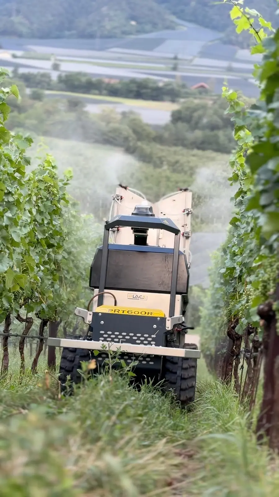
The kit consists of a sensor roll bar, a bumper and software.



Specifications
| 3D-LiDAR | Precise guidance and field mapping – day and night |
| 3D camera | AI-based detection of people, animals and vehicles |
| RTK navigation | Guidance accurate to ± 3 cm, in every row |
| 5G connectivity | Real-time monitoring via mobile network |